Sumac Geomatics to outline how we should really measure the value of UAV mapping services
The Sumac team will be sharing their experiences among international geomatics experts during the week beginning February 5th when Todd Domney and Adam Bozcek will be presenting at the International Lidar Mapping Forum (ILMF 20181), in Denver, CO. ILMF is a long standing technical conference and exhibition in the professional remote sensing community. The event’s traditional and main focus has been on the use of Lidar (Light Detection and Ranging) technologies for mapping and survey purposes, but as technologies have evolved, so has the event to include other emerging remote-sensing and data collection tools too. This year networking will further be enhanced with ILMF being co-located with the Association for Photogrammetry and Remote Sensing (ASPRS) Annual Conference. Presenting in a session that discusses how to maximize return on investment in unmanned aerial vehicle (UAV) surveys, Todd and Adam will outline the implications of Sumac’s UAV volumetric survey services to its customers’ balance sheets.
Impacts of UAV services that are often overlooked
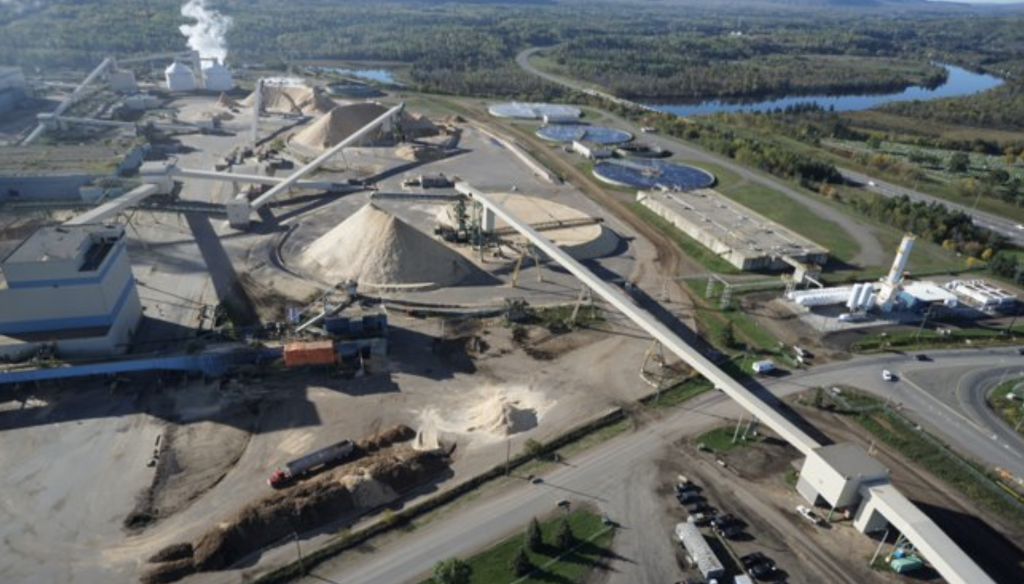
Much of Sumac’s work involves delivering UAV-based, monthly volumetric reporting services to corporations in the forest products sector. For many of Sumac’s customers, each month, Sumac is obligated to deliver interim reports within hours of the UAV’s flight, and final reports within 24 hours that will be examined in monthly board meetings within days of flight. As Todd and Adam’s presentation will highlight, the implications of undertaking a UAV-based approach to volumetric services goes far beyond simply providing a faster, more complete and efficient approach for a firm to understand the volumes of their stock holdings. In terms of current holdings, for firms that manage high-value stockpiles of material, as little as a 2% miscalculation in their volume can lead to impact on a firm’s books in the region of $millions per year. Looking further back into the production process, these volumetric figures drive the just-in-time supply chain. Yard manages will adjust ordering regimes with suppliers, and use these to modify the schedules of specific supply trucks in relation to the material that they carry.’
Importance of data processing control
The data processing control procedures need not only be consistent, but cannot be completely automated either; requiring a blend of established best practice with the experience of the team. On busy production sites, what may seem like simple decisions such as ‘where is the boundary between two piles’ can have unknown impact on the extent that reported figures reflect reality. Where our work can often be tested by random sampling by our customers, Adam will be highlighting how it is important to be able to forensically be able to trace sources of error throughout the data capture, processing and delivery workflow.
To find out more…
Todd and Adam’s presentation titled “The impact of UAVs on the Balance Sheet of High-Cost Stockpiles”2 will be presented at 4pm on Tuesday February 6th. Through providing UAV mapping services for over 5 years and aerial photographic interpretation services for over a decade, Sumac Geomatics operates one of the most established data processing workflows in North America. We are happy to provide advisory and data processing services to mapping projects across the country, please contact us at info@sumacgeo.ca for further information.
1: https://www.lidarmap.org/
2: https://www.lidarmap.org/session/importance-of-control-in-volumetric-reporting-production-economics-and-airborneuav-data-fusion/