Mapping & Survey Solutions
Sumac Geomatics Incorporated is a full-service Geomatics firm with headquarters based in Thunder Bay, Ontario.
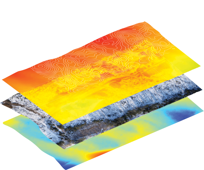
Geospatial Insights with Pinpoint Accuracy
Forestry Solutions
We combine ground surveys, photo interpretation and remote sensing to provide forest resource managers high quality data and meaningful information products.
Mining Solutions
We provide a range of survey and mapping services to support all stages of the mining life cycle.
Engineering Solutions
Using class leading survey technologies we provide project engineers high resolution point cloud data and imagery.
Waste Rock Surveys
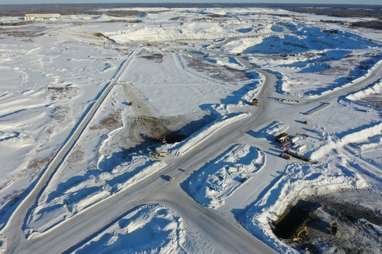
Sumac was retained by Pinnacle Civil Contractors to provide monthly topographic and volumetric surveys for a large earthworks project at the New Gold Rainy River Mine. Over a 12-month period Sumac undertook topographic surveys and a variety of analysis assignments to support project management.
We Transform Data into Action
The information obtained and integrated into maps by Sumac was invaluable as we were able to identify surficial bedrock topography, which allowed us to develop our subdivision around the bedrock.