eFRI

Client: MNR

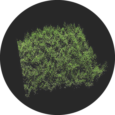
The enhanced Forest Resources Inventory (eFRI) is a strategic survey of Ontario’s forests. The program is tasked with surveying 555,000 square kilometres of forest land and wetlands across much of Ontario.

It gathers a range of ecological information, tree species composition, range, age etc and, land use conditions. It is used to meet provincial, federal and international reporting requirements and, support resource management decisions.


Sumac has been engaged by the Ontario Ministry of Natural Resources and Forestry on eFRI projects dating back to 2007 when the program was released. Projects include:

  • eFRI Ground Calibration Plot and Ecosystem Land Classification Training
  • Black Spruce Forest, 13,814 km², 2,436 Ground Calibration Plots
  • Caribou Forest, 7,141 km², 1,425 Ground Calibration Plots
  • Crossroute Forest, 15,850 km², 3,170 Ground Calibration Plots
  • Dog River-Matawin Forest, 10,592 km², 2,120 Ground Calibration Plots
  • Dryden Forest, 3,056 km², 611 Ground Calibration Plots
  • Far Northwest Area, 12,837 km², 1,605 Ground Calibration Plots
  • Kenora Forest, 12,183 km², 2,436 Ground Calibration Plots
  • Nipissing Forest, 11,443 km², 2,290 Ground Calibration Plots
  • Northshore Forest, 12,708 km², 2,540 Ground Calibration Plots
  • Ogoki Forest, 10,861 km², 2,170 Ground Calibration Plots
  • Whisky Jack Forest, 10,585 km², 2,117 Ground Calibration Plots
  • White River Forest, 6,126 km², 1,225 Ground Calibration Plots